

Elk terrain intelligence
The hunting app built for elk.
RidgeRead is an elk hunting map and GPS app for iPhone, Android, and the web. It ranks terrain, cover, access, and pressure into places worth your time.
Free to start · Pro $4.99/month or $29.99/year · 7-day trial on annual · offline maps with Pro
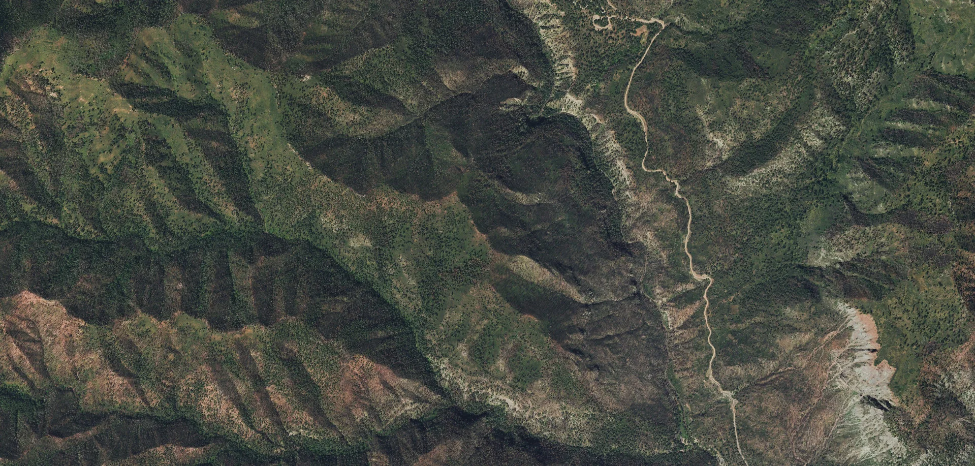
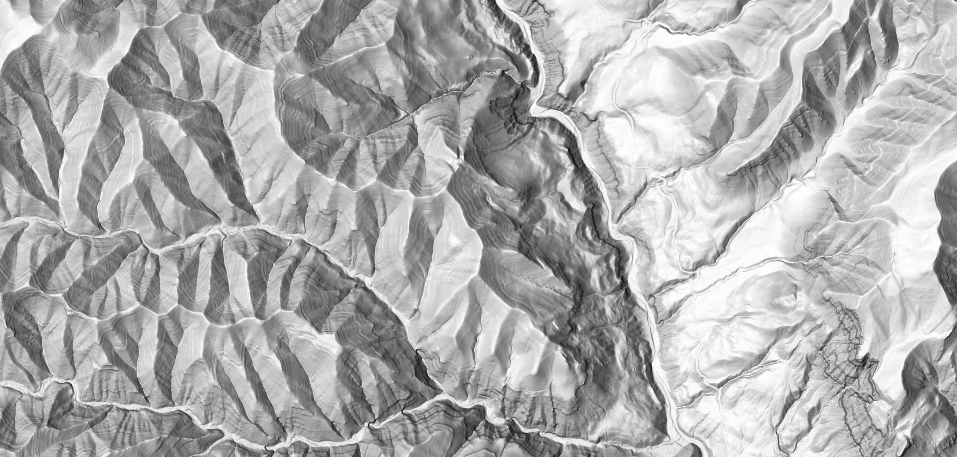
Imagery ⇄ LiDAR · 37.44191, −107.86554 · same extent, same zoom
Read the terrain.
Decide where to investigate.
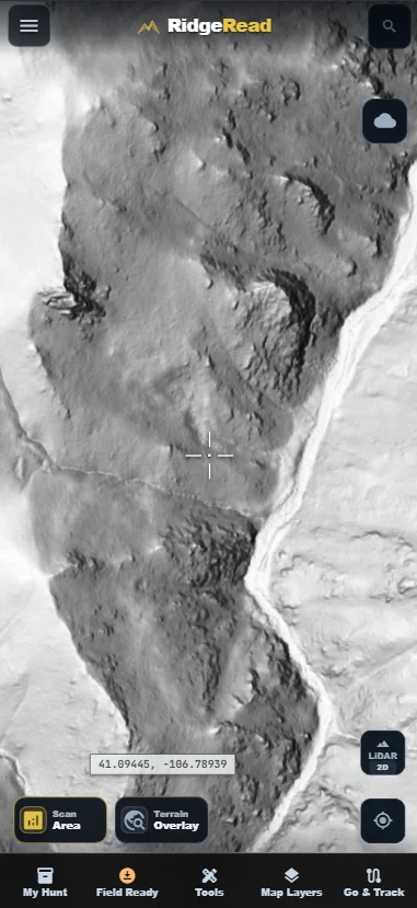
01 · BASEMAP
LiDAR
See through canopy to bare-earth benches, cuts, and old logging grades.
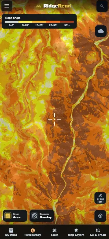
02 · OVERLAY
Slope angle
Pick out the 0–20° shelves elk bed on, and the walls you should not climb.
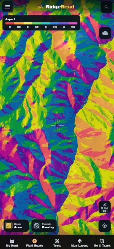
03 · OVERLAY
Aspect
North and east faces hold shade, moisture, and feed longer into the season.
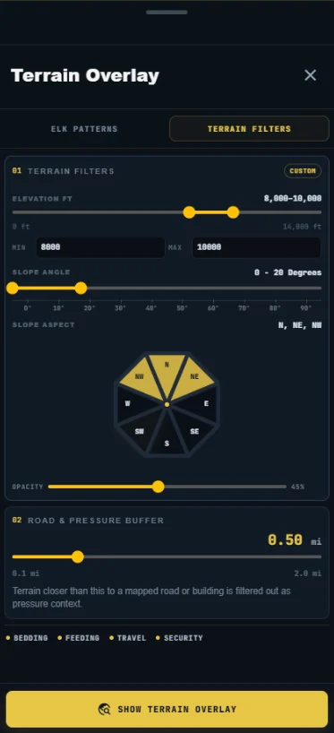
04 · TOOLS
Terrain filters
Stack elevation, slope, aspect, and a road-pressure buffer into one mask.
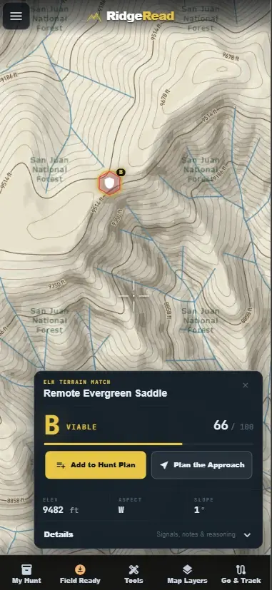
05 · OUTPUT
Terrain match
Scored spots with the reasoning, then an approach you can save offline.
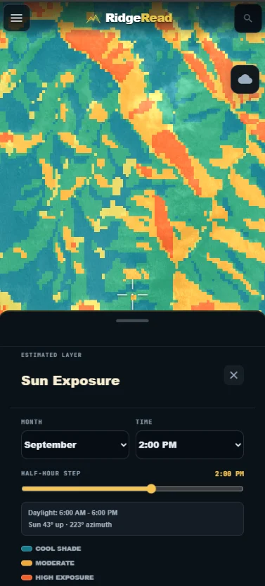
06 · ESTIMATED
Sun exposure
See where the shade sits at 2 PM in September, stepped by half hour.
Start with one area.
Build the rest with Pro.
Free includes 3 analyses per month. Pro adds unlimited analyses, terrain layers, and offline planning.
$29.99/year
7 days free for eligible new subscribers, then $29.99 billed annually.Monthly also available: $4.99/month, billed monthly with no trial. Choose your plan before checkout.
Lifetime Pro also available: $99.99 one-time payment, with no renewal. Choose your plan before checkout.
Monthly and annual plans renew until canceled. Cancel before your next billing date in Settings to avoid the next charge. Lifetime Pro is a one-time payment.
Map and layer coverage varies by area. The Montana sample is a terrain demonstration. Terrain matches identify places to investigate, not current elk locations.

Build on what the terrain tells you.
Cancel anytime · verify access with official sources